top of page
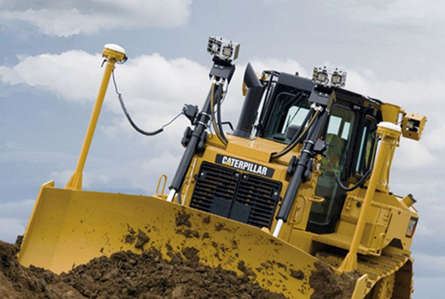
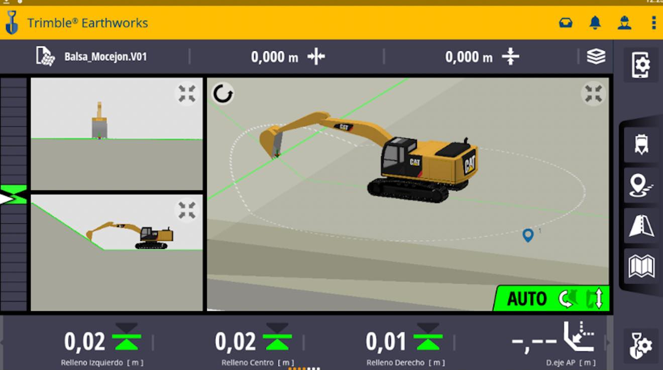
GNSS Machine Control
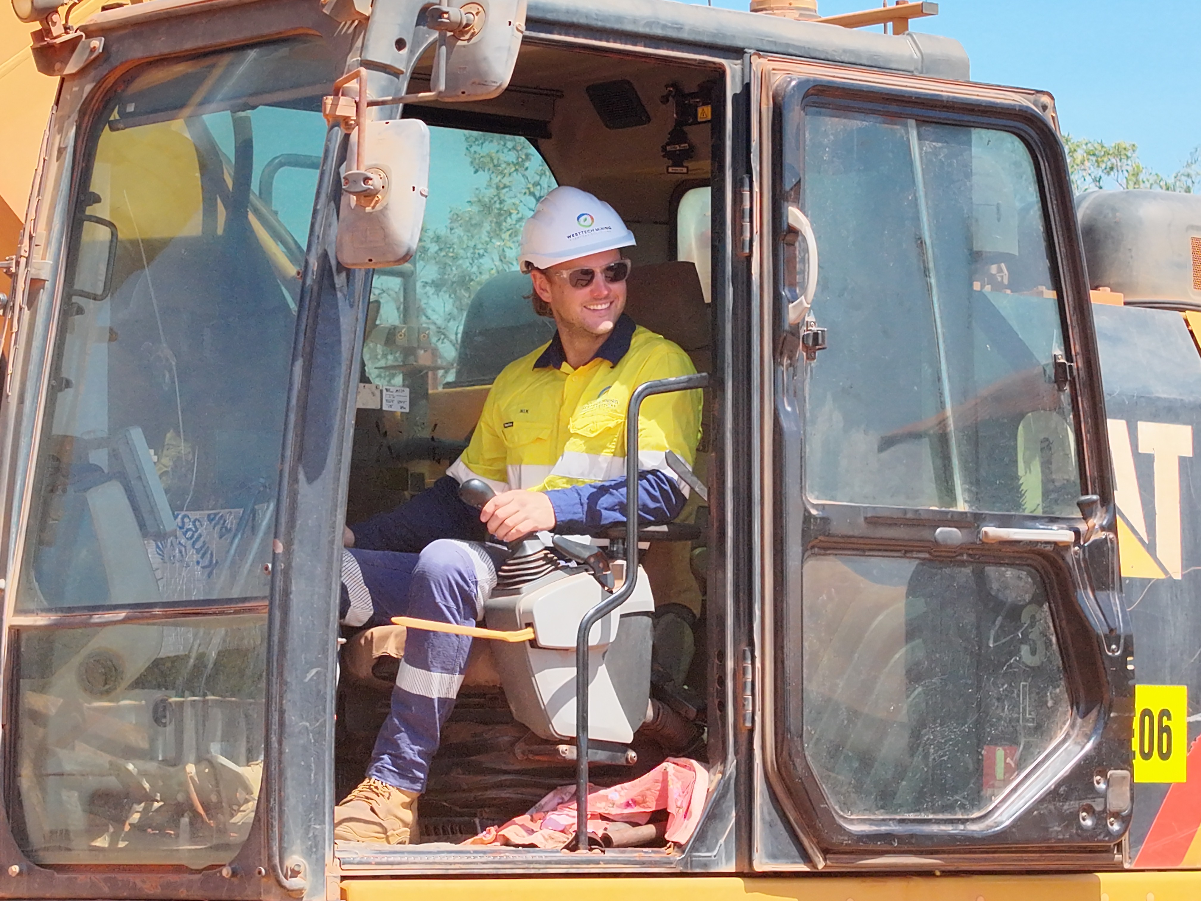
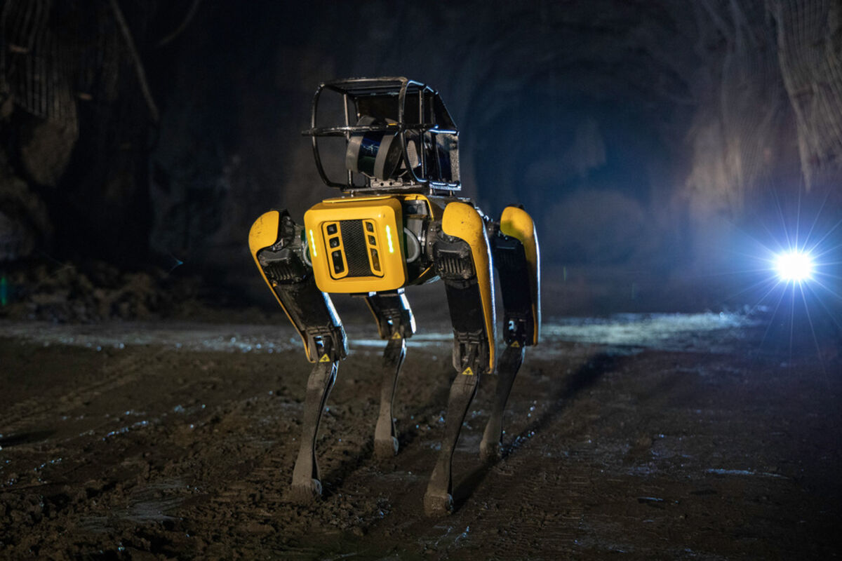
Delivering advanced GNSS machine control, precision machine installations, and ongoing technical support while driving innovation at the forefront of robotics in WA mining.


Aerial Drone Solutions
We deliver high-precision drone mapping, LiDAR, and photogrammetry solutions for the mining industry, ensuring technical excellence and operational safety.
High-Precision Mapping
Detailed topography and volumetric analysis for stockpile management and mine planning.
LiDAR & Photogrammetry
Advanced surveys utilising light detection and ranging for centimeter accuracy.
Visual Inspections
High-resolution visual assessments of plant, pits, and hard-to-reach infrastructure.
Technical Reporting
Comprehensive data analysis and reporting for immediate operational decision-making.


bottom of page